Windrush Weather

Category: Commentary

  • Wow! Minimum of 2.2C is a grass frost temperature.

    After a cloudy day with drizzle and heavier bursts of rain around midday, totalling 2.5mm, the sun eventually broke through late afternoon with 1.8 hours of sunshine.

    The overcast day meant a maximum of only 15.1C, being 3.6C below the 33-year average. The UV level, not surprisingly, only staggered into the ‘Low’ live, the lowest since 18th March.

    Late afternoon the wind veered from the south into the west that, with clearing skies, meant the thermometer began to drop steadily.

    The minimum at 06.29 this morning was 2.2C, producing temporary grass frost and the coolest night since 10th May, being 7.1C below the September average.

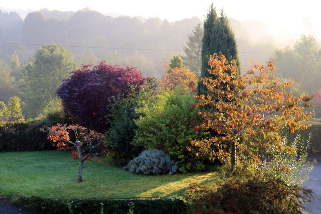
    This morning there was a little mist at dawn, fog in the River Kennet valley, but strong sunshine shortly afterwards.

  • What a difference a change in wind direction makes!

    Although we only had 2.2 hours of strong sunshine, mainly in the morning, the thermometer rose to 17.9C, still 0.8C below the 33-year average. This was the warmest day since 8th September and all due to the wind backing into the south.

    Most of the day was predominantly cloudy with the wind strength picking up late afternoon with a gust of 23mph at 16.48.

    A cloudy and mild night was to follow with the thermometer not dropping below 13.3C, which was 4C above the September average.

    A light shower, amounting to 0.2mm, fell just before 1am bringing the monthly total to 45.7mm, which is 74% of the 33-year average.

    This morning has dawned with thick cloud ahead of the approaching weather front.

  • Warmest day for a week but chilly night

    With 7.87 hours of strong sunshine and very light breezes tuesday was the warmest day for a week with a maximum of 17.2C. However much we enjoyed the greater warmth, it was still 1.5C below the September average.

    With clear skies the thermometer dropped to a minimum of 6.6C, very chilly, which was nearly 3C below the average.

    The initial cloud from the advancing weather front has shown itself at dawn with just brief interludes of sunshine.

    The very light southerly air has boosted the temperature to 11.0C at 08.00, making it the warmest start to a day at this time for a week.

  • “Season of mists and mellow fruitfulness” – John Keats

    After a dry day on monday, with the ground beginning to dry out, a substantial shower arrived early evening producing 1.4mm of rain. This brings the total for September to 45.4mm.

    It was a little warmer by day and night with a maximum of 16.0C, up 1.3C on sunday but still 2.7C below the September average.

    Strong sunshine was up a few minutes with 2.65 hours in total.

    Overnight cloud meant a milder night wth a minimum of 8.9C, up 1.2C on the sunday minimum and close to the September average being just 0.4C below.

    This morning has brought initial sunshine, which was temporarily obscured as banks of mist moved around that are now beginning to dissipate as the sun gains in strength.

  • Autumn is really here!

    We had much less sunshine on Sunday than on previous days, 2.44 hours, as a consequence the thermometer hovered around 12C most of the day and slowly struggled to 14.8C late afternoon as the low cloud slowly thinned. This was 4C below the September average. The winds were light, maximum of 11mph and from a NNE direction.

    There was very light drizzle just after noon that was not measurable.

    It was also a warmer night than of late with a minimum of 7.7C, still 1.6C below the September average.

    Banks of low cloud are obscuring the sun this morning with only the occasional glimpse between breaks.