The battle of the air masses continued on Monday with the colder air still in place brought on a light easterly breeze. The maximum of 5.7C was logged at 14.39, as hazy sunshine arrived around midday, being 2.7C below the long-term average. From that time the thermometer very slowly dropped away over the next sixteen hours to reach a minimum of -1.2C at 06.25, early Tuesday, being 3.1C below average.
Monday saw a significant improvement with the strength of the UV light as the UV sensor was triggered continuously between 10.00 and 16.00 with a peak of 1.3, the highest since 31st October, bt till in the ‘Low’ category.
The last four colder days, and particularly nights, have seen the cold air seep into the ground as the soil temperature at a depth of 5cm read at 08.00, logged 3.7C, 2.2C, 0.9C and 0.7C respectively.
Tuesday revealed a sky with thin, high cloud that allowed variable, milky sunshine after sunrise.
Today is the last day of the 10 day battle between the high pressure system and low pressure system with significant changes by Wednesday.The forecast charts show the depression making significant advances over the UK that will herald in warmer days but unsettled weather with rain at times. The barometric pressure has varied just 1mb over the last four days but by 08.00 on Wednesday we will see a marked drop in pressure as the depression gets closer.
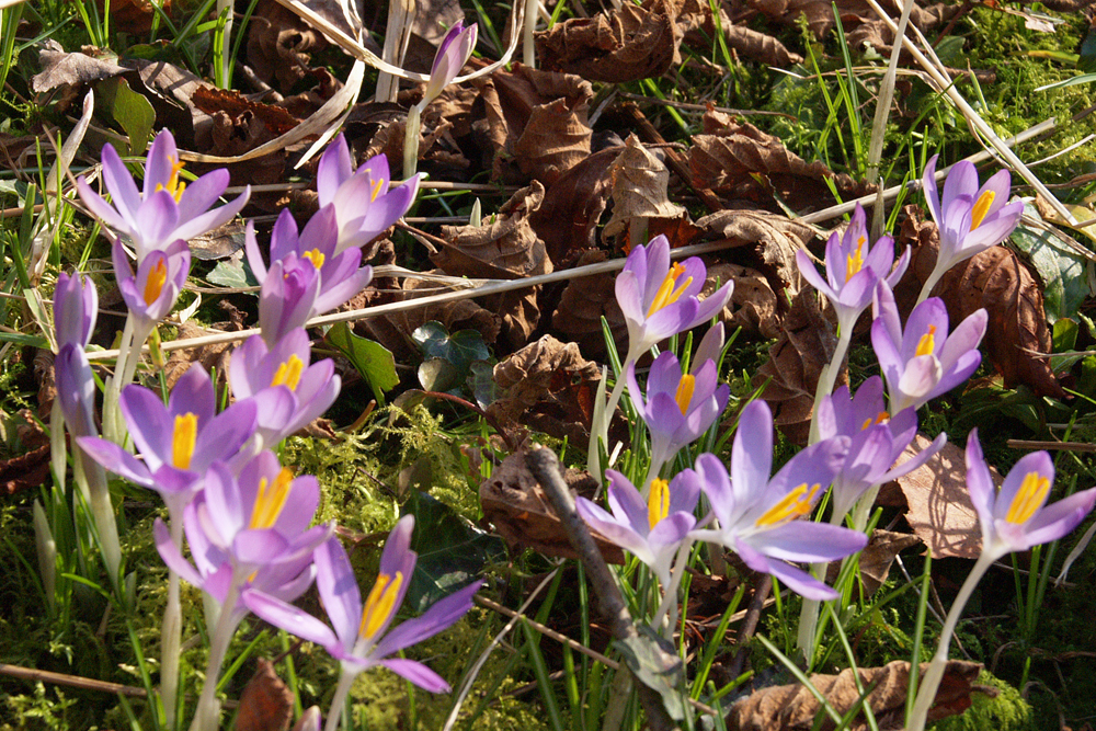
P.S. The flowers are early crocus at Welford Park and Garden, Berkshire